

Mt Mathieson Circuit, Spicers Gap – Main Range National Park
Walk Leader: Mary Anne Ryan
Phone Number: 0436 393 999
email: birdoryan@gmail.com
Amount: $5.00 collected on the day
Time: 0900
Where: Pioneer Picnic area, Spicer’s Gap Camping Area
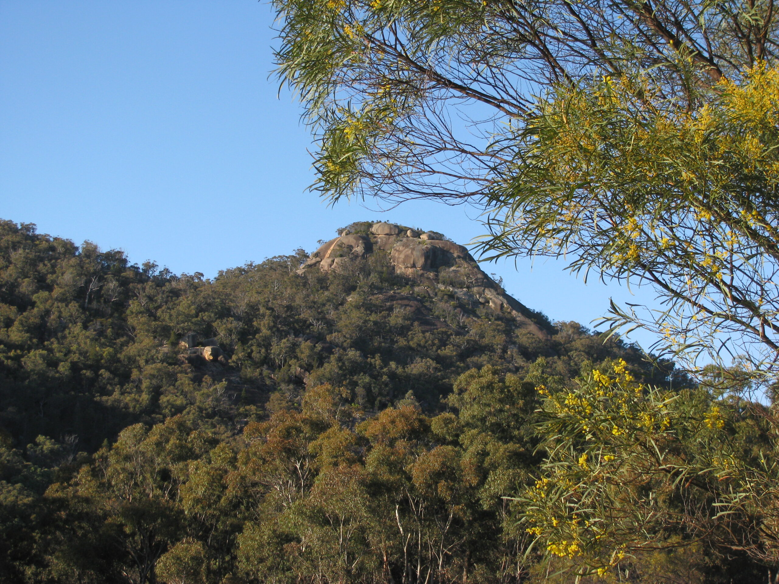
Description: Following a marked trail, the Mt Mathieson circuit – approximately 8.5km – proceeds to the top of Mt Mathieson, then ascends a steep, rocky ridge onto the southeast slopes of Mt Mitchell. The trail flattens out passing through forest and open clearing before coming across an old bullock-drawn timber junker and an example of a historic road built by squatters during the 1860’s. Onto the Governor’s Chair and prior to completing the circuit, we will peek in at Moss’s Well, the site of an age old spring that provided fresh water for those passing through Spicer’s Gap on their journey over the Darling Downs.
Grading: Intermediate
What to bring: Morning tea and lunch. 2 litres of water. Hat, rain jacket, torch
Getting to Spicers Gap: Head west from Brisbane along the Ipswich Motorway, onto the Cunningham Highway towards Warwick. The following is a guide:
0.0km Aratula Hotel
4.9km Turn left – Lake Moogerah Road
10.7km Turn right into Spicers Gap Road
13.3 km Gravel road
17.6km Spicers Gap Campground on left
17.7km Pioneer picnic area on left.
Trip Notes
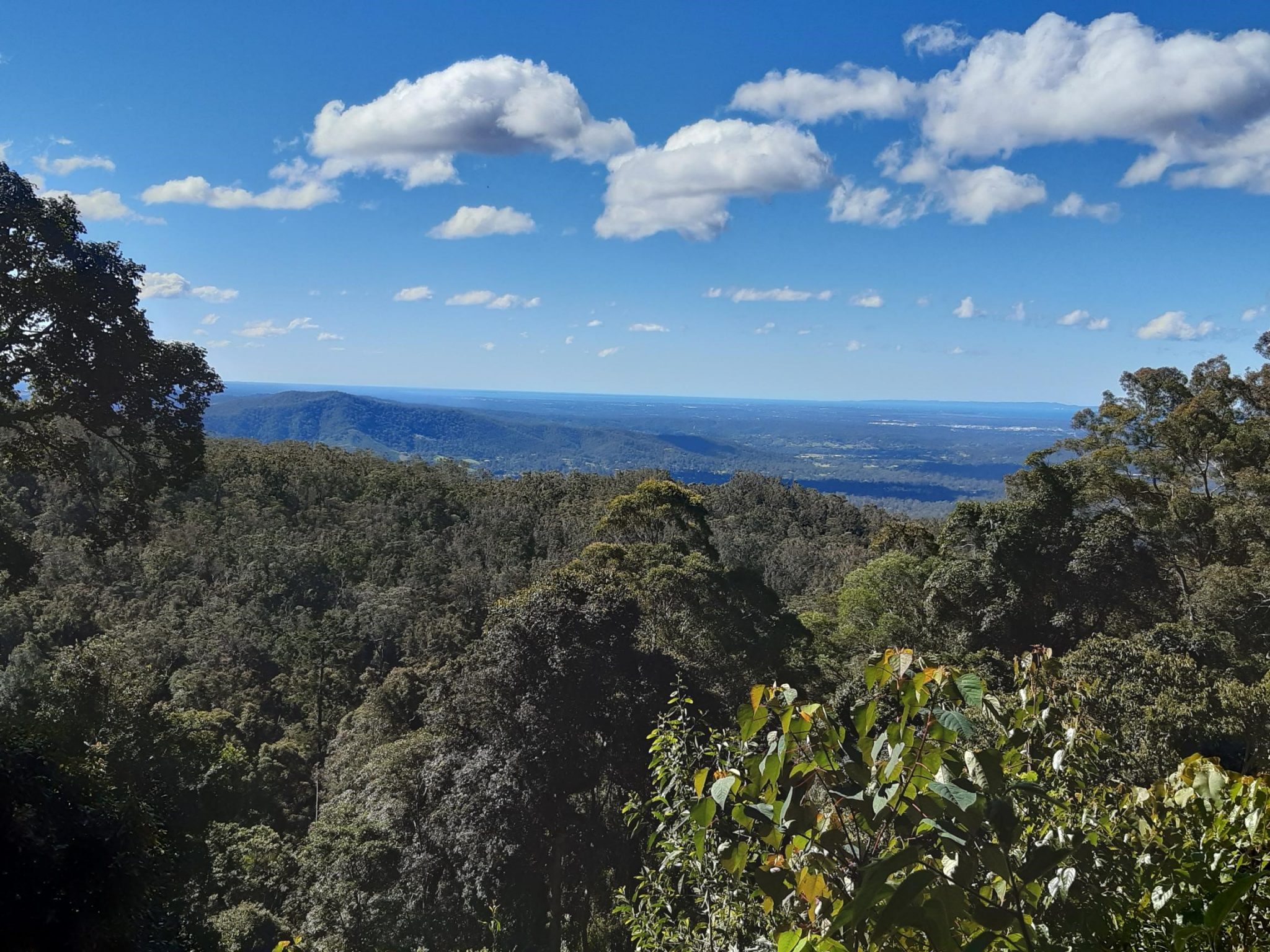
It was a fine crisp morning and 8 walkers (3 NPAQ members and 5 non members) met at the Pioneer Picnic Area car park Some of our group visited the monument in the Pioneer Cemetery which was some metres from the car park. After paying our respects, we commenced the 1.8km climb to Mount Mathieson Lookout. Whipbirds, Bell Miners and Lewin’s Honeyeaters welcomed us on the track but despite 8 sets of eyes, they remained elusive, so we resolved to simply enjoy their melodious calls.
Clear views of Mt Cordeau, Mt Mitchell and The Ramparts spurred us on and a short sharp climb brought us onto the ridge where the walking was easier. We descended quietly from the rainforest to discover the old timber jinker reminding us of the bygone era. The wood on this wonderful old relic is deteriorating due to being exposed to the elements.
Before entering the Heritage Trail, an astute group member identified a large, fresh snake scat, containing fur. For most of the group this sighting was a first and it would only be nature lovers (and children) who delighted in this exciting find.
I have an old Historic Guide of Spicers Gap Historic Road identifying 2 areas where a corduroy section of the road was laid around 1847. In order to overcome persistent wet and boggy conditions, a level section of the road was surfaced with logs and this was known as the corduroy section. We were not able to find any signs of logs or remnants of logs along this special 1.6 km route. The signs describing the history of the road were in poor condition and difficult to read. It was easy to see how vital drainage was in the design of the road and one could recognise the deep drains, said to be originally one metre in depth, on both sides of the road, at the time the road was built.
This track is significant to National Parks Association of Queensland as volunteers from the Association were involved with building some of this track in 1985 – 39 years ago.
A beautiful walk – varied and historically interesting with great company along the way.