Kureelpa Falls, 2023 – Mapleton National Park
Description:
Mapleton National Park is adjacent to the township of Mapleton in the Sunshine Coast Hinterland. It has a number of walks including part of the Sunshine Coast Hinterland Great Walk.
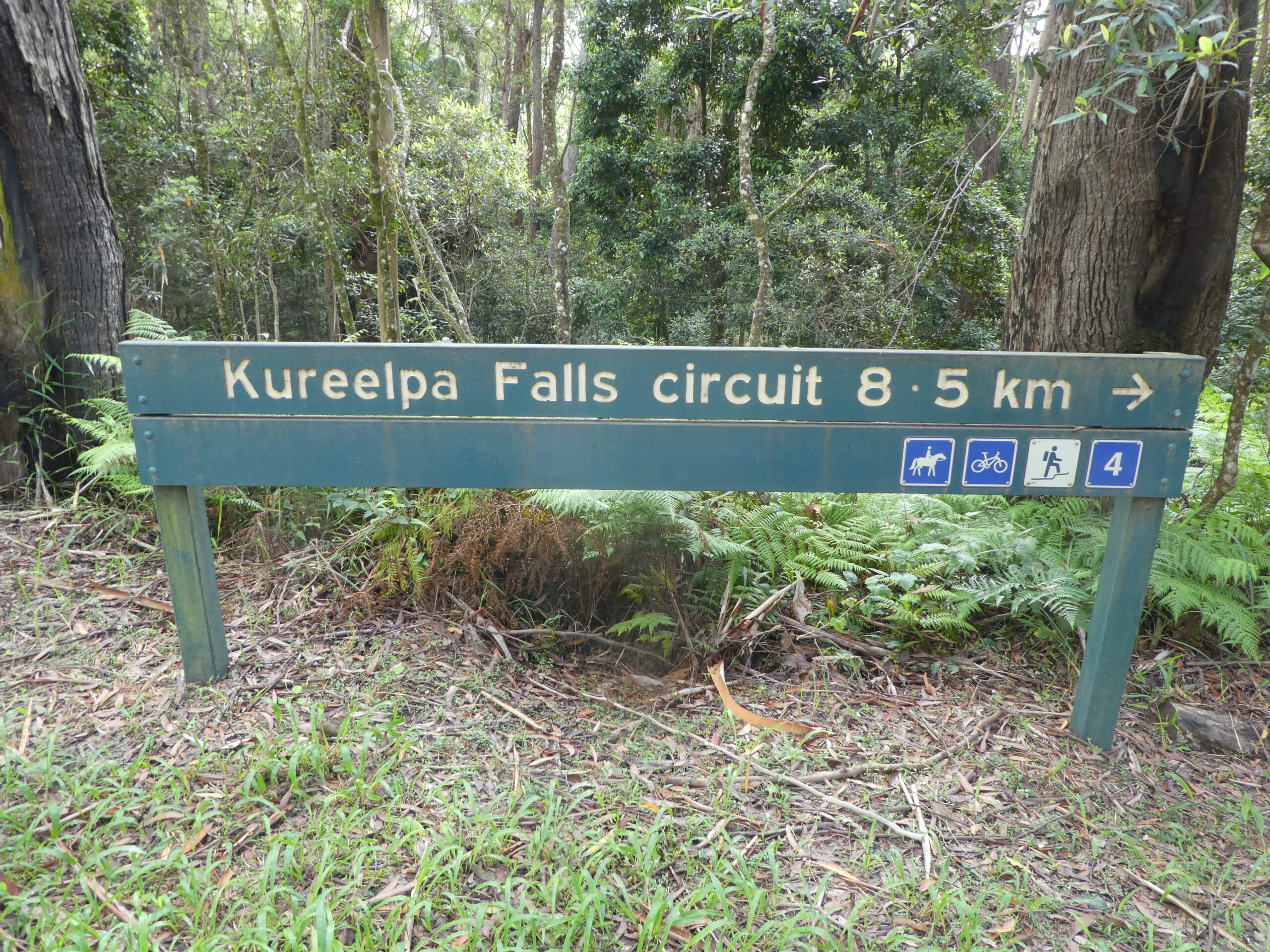
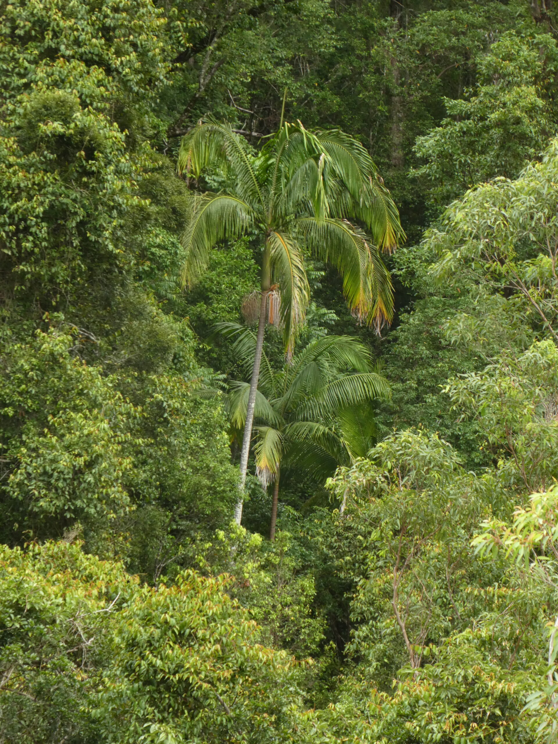
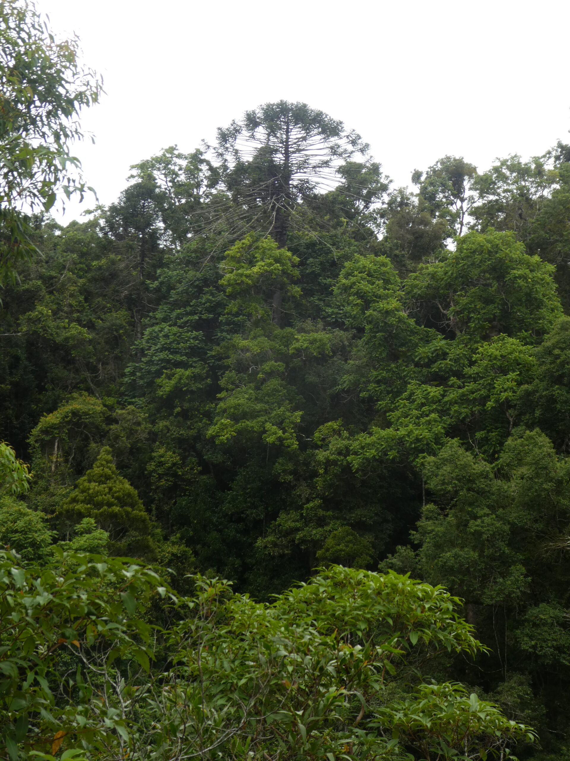
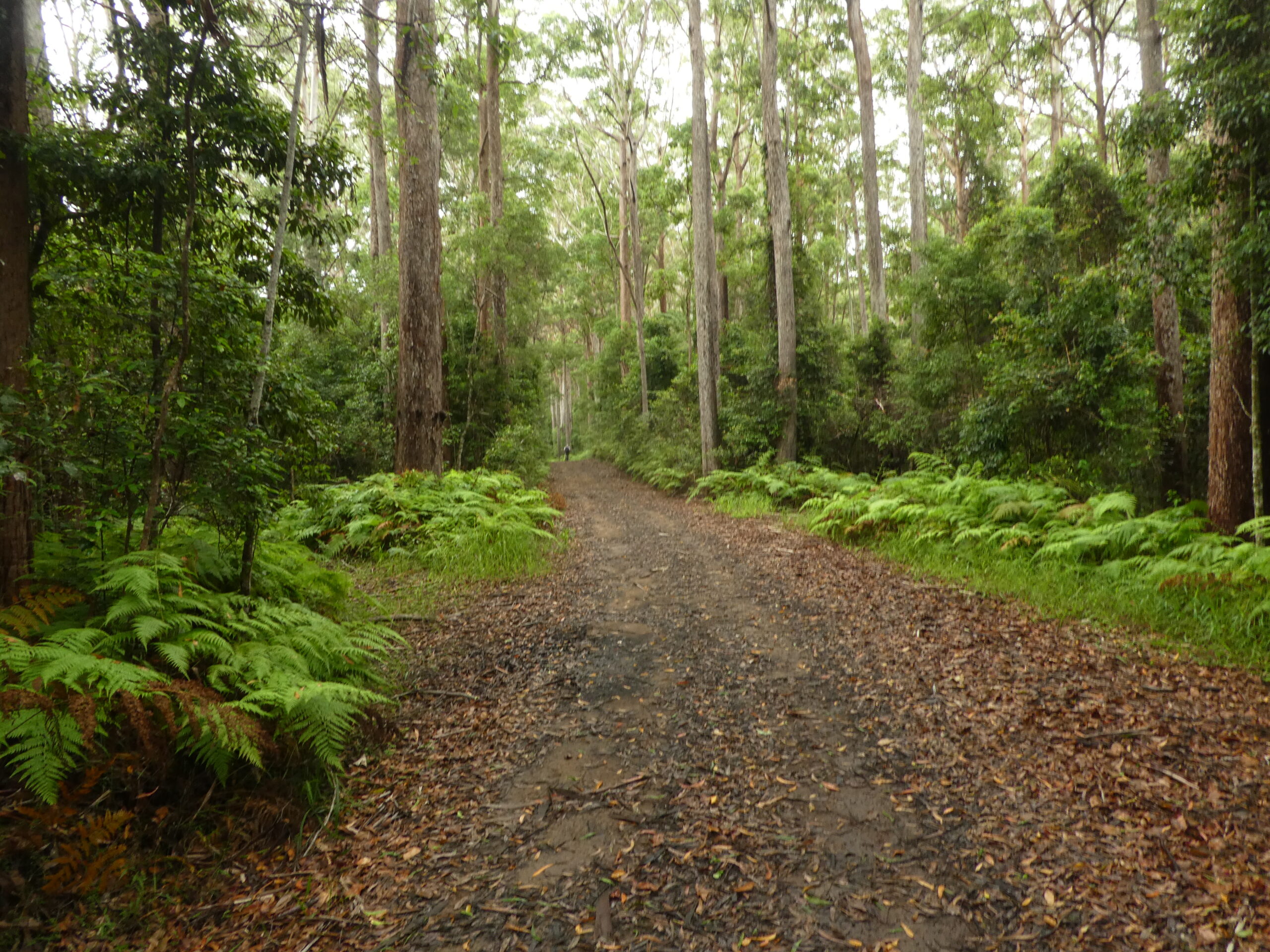
Kureelpa Falls Circuit: After meeting in the Mapleton National Park Day Use Area, walkers will head out along a forest trail to Kureelpa Falls. The walk meanders downhill through mainly tall timbers to the falls with a couple of steep sections where care is required. While the falls themselves are not spectacular, the gorge through which the creek flows, is. Surprisingly, the tops of Bunya pines poke through the canopy, palms are visible in the forest and staghorns grow on the sheer cliff opposite the lookout. A great spot to enjoy morning tea.
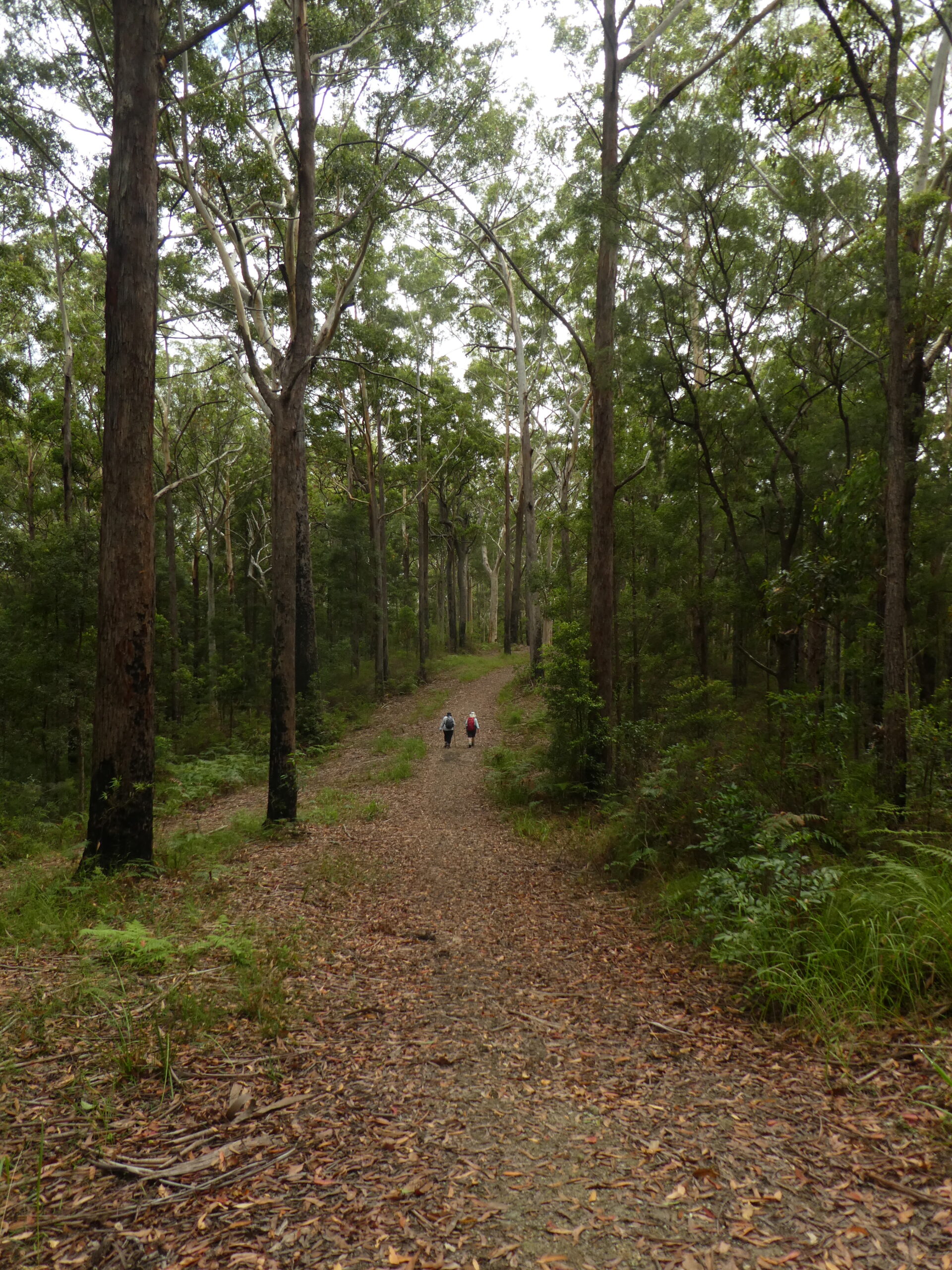
Continuing around the circuit, the trail ascends less steeply through tall timbers including ancient tallowwood, iron bark and spotted gum to the day-use area to enjoy lunch.
After lunch, one of the shorter walks from the Day Use Area is an option for those who feel up to it before heading home.
This activity will be conducted in keeping with the Queensland Government’s Covid-19 directions at the time of the activity. Please do not attend this activity if you have been feeling unwell with Covid-19 related symptoms in the 7 day period before this activity.
Please register for this activity via the NPAQ website completing all fields.
Walk Grading: Blue (Intermediate) 8.5km including steep descents and a long ascent – requires a moderate level of fitness.
Meet: Mapleton National Park Day Use Area at 8.45am for a 9am start.
What to Bring: Hat, light jacket, rain gear (just in case), torch, insect repellent (leeches), whistle, 2+ litres of water, morning tea, lunch, afternoon tea (if doing a second walk), positive outlook, $5.00 NPAQ Fee
Directions: From Brisbane, travel north along the Bruce Highway to the Mudjimba exit, following the signs to Nambour Hospital and up the range to Mapleton. At Mapleton, turn right onto the Obi Obi Road for about 200m before making a right turn onto Delicia Road which is signposted Mapleton Falls National Park and Mapleton National Park. Approximately 1km along Delicia Road, turn right again onto Mapleton Forest Road to the Mapleton National Park Day Use Area. Allow a little extra time to negotiate the ongoing roadworks around the Bruce Highway/Maroochydore Road intersection.
An alternative route is to leave the Bruce Highway north of Caboolture/Bribie Island exit to follow the Steve Urwin Way (Old Bruce Highway) to Landsborough. Turn left to travel through Landsborough and up the range towards Maleny. At the top of the range, turn right to following the signs to Montville and Mapleton. At Mapleton, turn left onto Obi Obi Road, then right onto Delicia Road and right again onto Mapleton Forest Road to the day use area.
Nominations: NPAQ Website
Leader: Frank Freeman ( or Fax 07 3824 3954; Mobile: 0427 655 514 Email: frank_fr@bigpond.net.au
Activity Report
Kareelpa Falls – Mapleton National Park
Five intrepid hikers left the Mapleton National Park Day-use Area in drizzling rain. The low cloud, which hung around for most of the walk, gave the forest an ethereal feel. However, it did not disguise the height and majesty of the tall timbers or the beauty of the verdant undergrowth.
Rain gear came off when the rain stopped but went on again when the rain fell again at the falls. The planned morning tea was postponed until later and the group’s stay at the falls was shorter than planned.
The rain stopped again as the hikers ascended the slope back to the car park so a stop was made for morning tea amongst the picturesque, tall timbers.
Before returning to the car park, the walkers detoured to the Pilularis Walk, a short walk named after the Eucalyptus Pilularis (Blackbutt) tree that is common in Eastern Australia.
As the hikers returned to the car park the rain started falling again so the group moved to Shay Park to enjoy lunch in the comfort of a shelter shed, protected from the weather.
A picturesque and enjoyable activity.
