Bushwalk – Mount Mathieson (Keith Jarrott Memorial Walk)
Activity Report
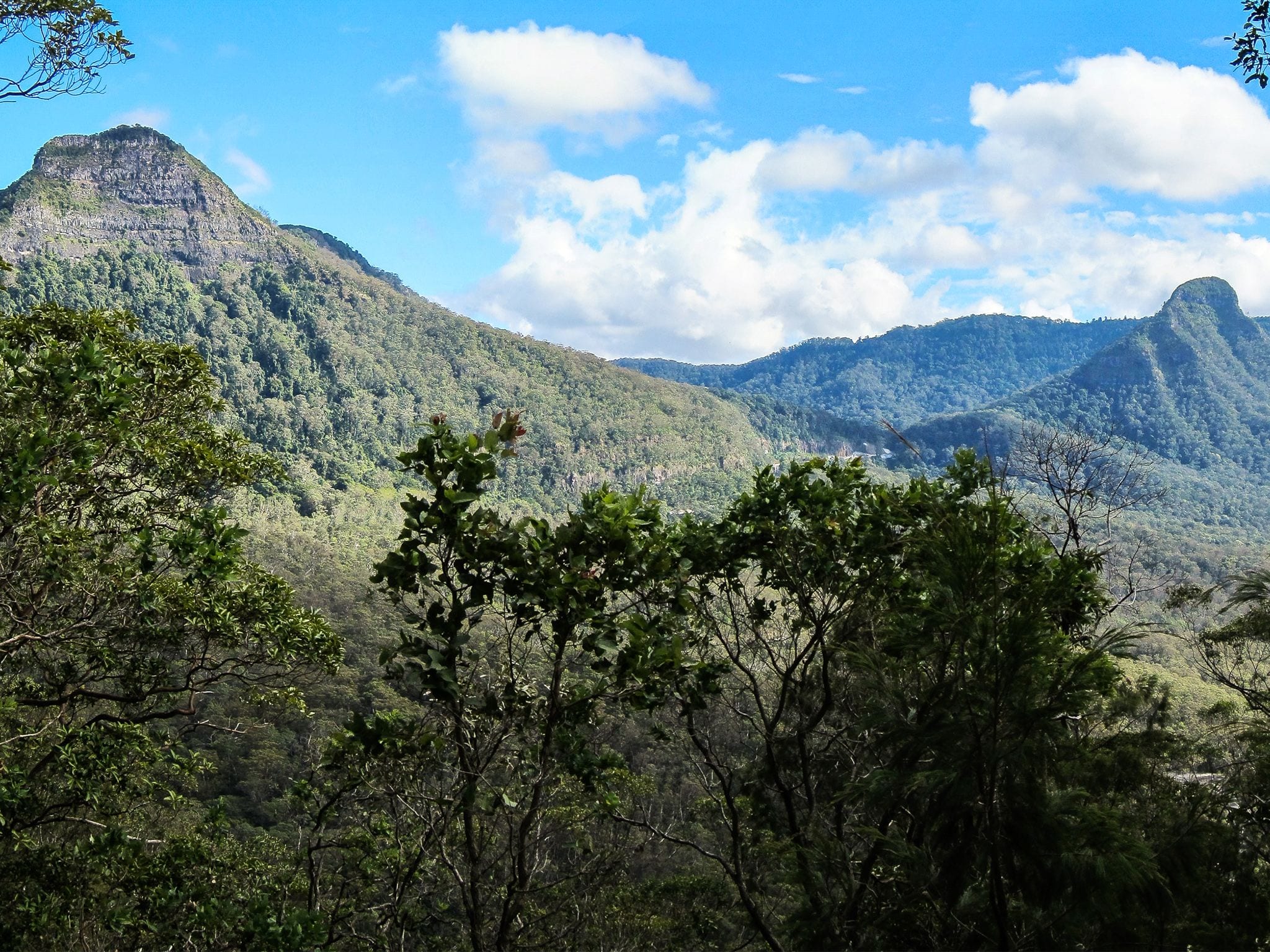
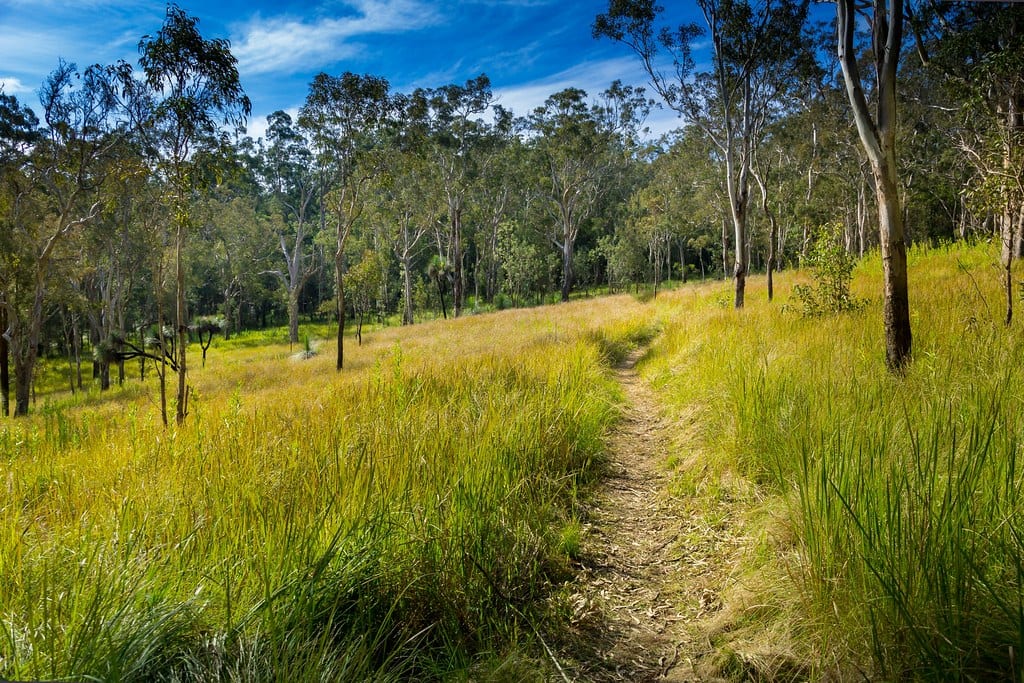
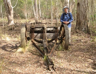
Nine walkers arrived at the Spicers Gap day use area to have an early morning tea and take in the history at the memorial to mark the pioneers’ graves. After a short history on Keith Jarrott’s contribution to NPAQ, we set off on the Mount Mathieson Trail in an anti-clockwise direction. The Trail presented a few fallen trees. We spent some time at the lookout at Mount Mathieson enjoying the views to Mount Mitchell, Mount Cordeaux and along the escarpment to Mount Castle. After scrambling along the saddle of Mount Mathieson and passing through an area of rainforest, we had lunch at an old timber wagon. It was an easy walk up the Spicers Gap Heritage Road to Governors Chair Lookout. This vantage point provides a magnificent panorama over the landscape to the east. There was a quick stop at Moss Well before arriving back at the cars at Spicers Gap day use area. Wildlife highlights for the day were spotting a Brush-tailed Rock-wallaby preening itself, several king parrots and a family group of Superb fairy- wrens close by the track. A very enjoyable walk on a perfect day with a happy group.
…………………………………………………………………
The Main Range National Park is an area which a founding NPAQ member Keith Jarrott loved and we celebrate his contribution to the Association in this Memorial Walk. Following a marked trail, the circuit track proceeds to the top of Mount Mathieson. The track ascends a steep, rocky ridge onto the southeast slopes of Mount Mitchell with magnificent views of Mount Mitchell and Mount Cordeaux. The trail flattens out, passing through forest and open clearing before coming across an old bullock-drawn timber jinker and an example of an historic road built by squatters during the nineteenth century. Great views from the Governors Chair and prior to completing the circuit, we will visit Moss Well, the site of an age old spring that provided fresh water for those passing through Spicers Gap on their journey to the Darling Downs. The walk finishes back at the Pioneer Graves Picnic Area.
From Brisbane follow the Cunningham Highway through Aratula towards Cunninghams Gap; 5.4km after Aratula turn left onto Lake Moogerah Road (signposted Lake Moogerah and Spicers Peak); 5.8km later turn right onto Spicers Gap Road. Follow this road for another 6.5km into the National Park and park at the Pioneer Graves Picnic Area, just past the camping area. Part of the last section of road is gravel and climbs steeply to the meeting point. Take care on this section. We will meet at 9:00am at the Pioneer Graves Picnic Area at the end of Spicers Gap Road, Clumber. GPS coordinates -28.07233S 152.42596E
Bring morning tea to have on the walk, one and a half litres of water, sun screen, hat, first aid kit, walking pole and picnic lunch and snacks to carry in your backpack.
This activity will be conducted in keeping with health department Covid-19 directions regarding social distancing, good hygiene practices and group size in force for the venue/area at the time of the activity. Please do not attend this activity if you are feeling unwell on the day, or may have had contact with covid-19 in the 14 days prior to the activity.
Please register for this activity via the NPAQ website by completing all fields.