The Cream Track Tallebudgera Valley 19 September 2021
The Cream Track Report – 19 September 2021
Walking a section or completing the full length of the track makes one appreciate the strength and resilience of our early settlers, as they marched their horses laiden with cream cans, up and down this steep route.
9 participants commenced the walk crossing The Tallebudgera Creek 3 times. With dry feet, they climbed the 100 steps before joining the zigzagging track to a flat site overlooking a well established banana plantation. From here, the route continued to be steep, rough and unrelenting. The group, with reduced numbers, reached their destination 4 hours from their starting time.
Congratulations to the 5 stalwarts who completed the trek and the 4 who walked as far as was possible.
It is believed the trail is longer that its advertised 5.3km one way. With two separate and different measuring devices, our group estimated that the track is more likely to be 7km one way with a total of 14km return.
———————————————————————————————————————
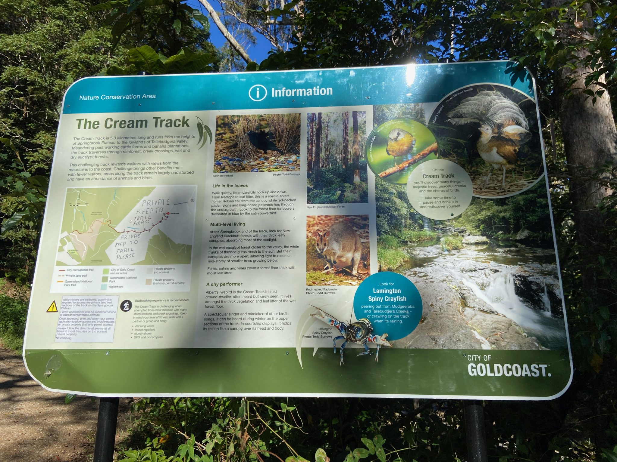
This heritage listed Cream Track is a 10.6km return walk (or close to this distance – see paragraph 3) and a 750 metre challenging climb, along a well established track from Tallebudgera Valley to Springbrook Plateau. Some sections are rough climbing over tree routes and rocks. Most of the walk is in rainforest with a couple of creek crossings.
This track was used by the early settlers as they transported milk and cream from dairy farms at Springbrook to a Butter Factory at the base of the range. During WW2, a road (that we cross over) was maintained to access structures on the plateau important for the war effort.
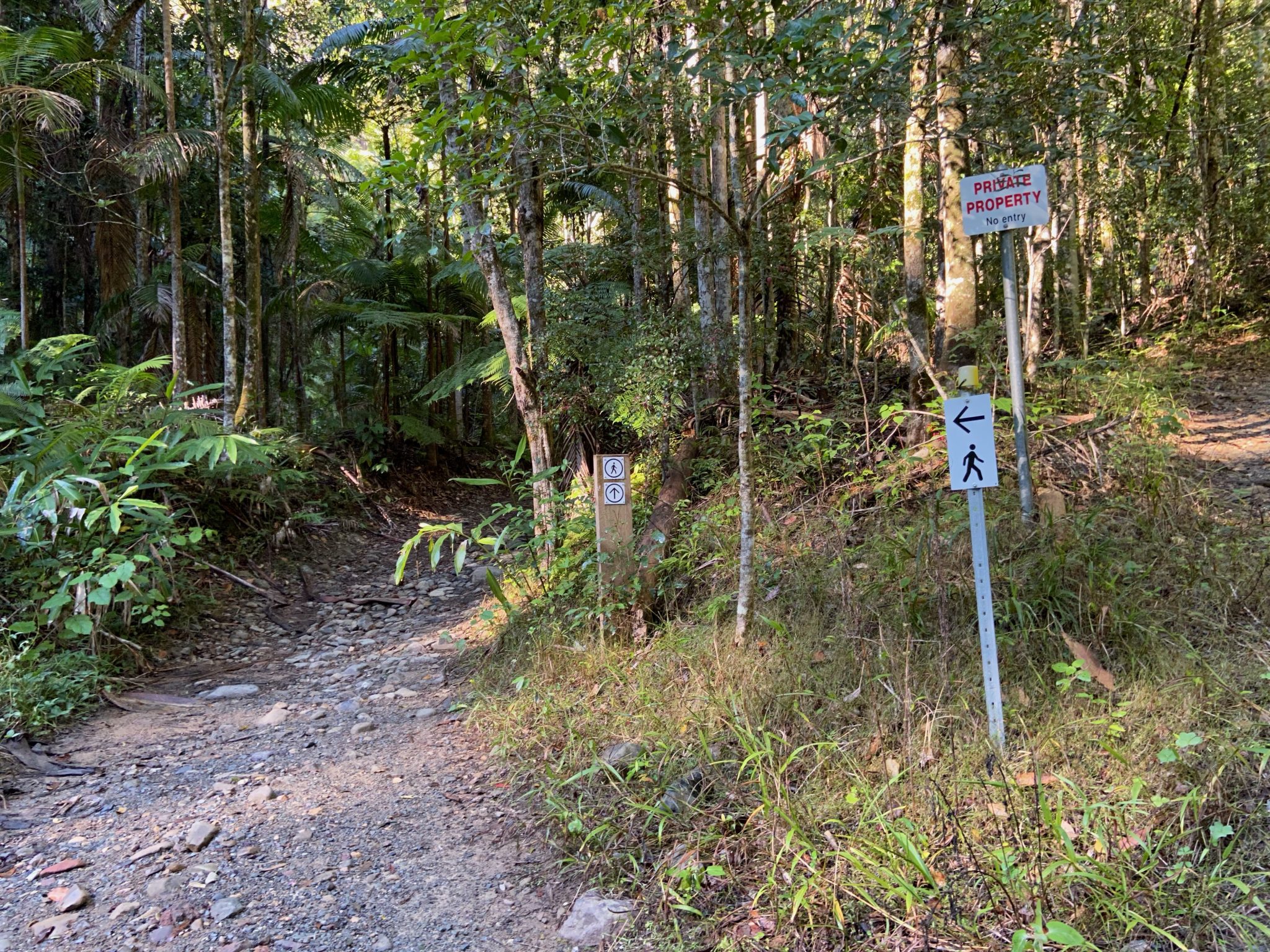
A section of the walk towards Springbrook plateau passes through private property. This property was sold in June 2021. Prior to the sale, a permit was necessary to cross this land. The permit was automatically generated upon application. It appears that we can no longer transverse this private land and the track therefore ends upon reaching this land. I will provide further information about this closure closer to the date of the walk.
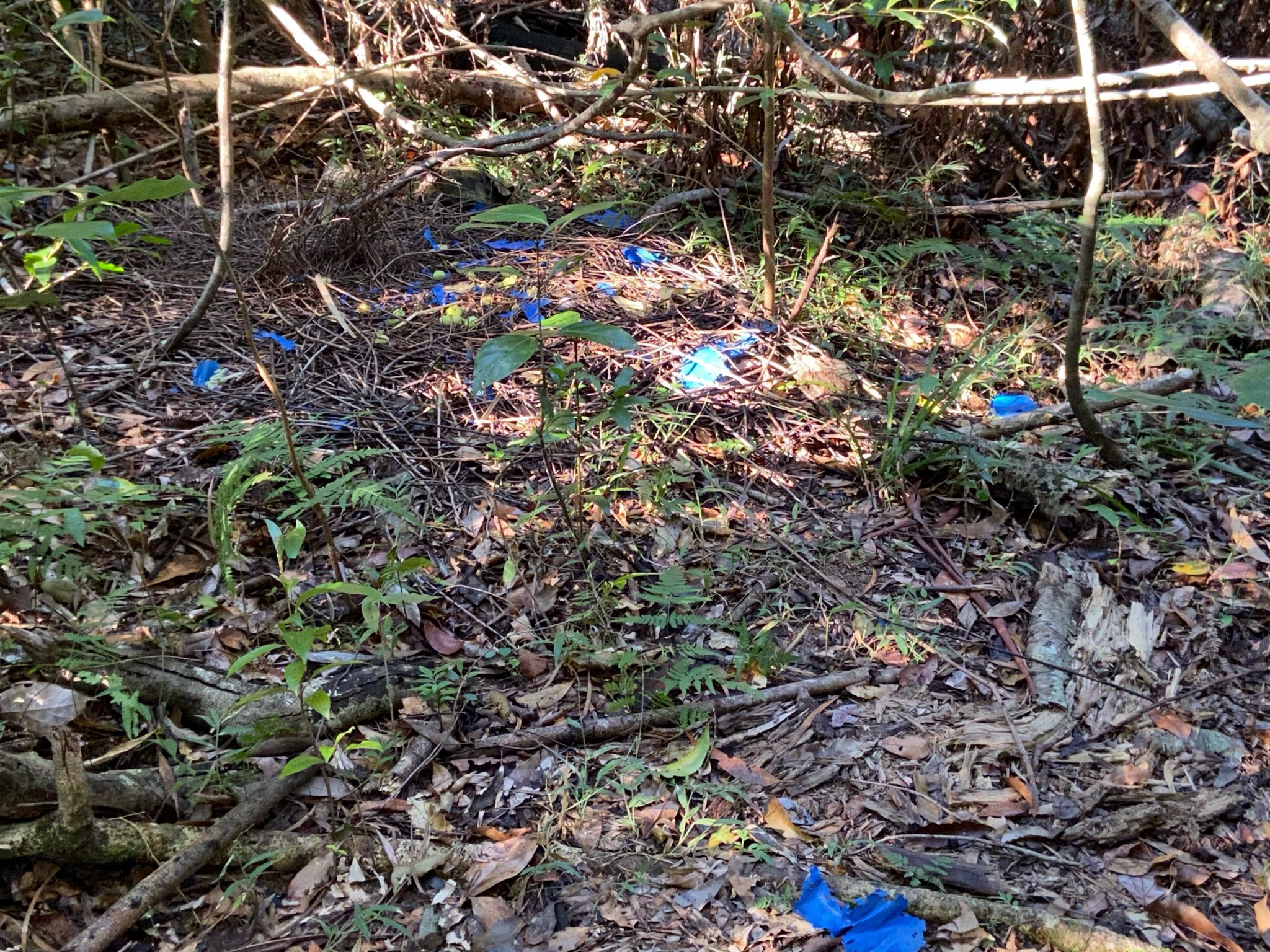
Expect to see and hear a range of birds including the Albert’s Lyrebird. A Satin Bower bird’s old nesting site was noted on the preouting so we should catch a glimpse of this.
This activity will be conducted in keeping with health department COVID-19 directions regarding social distancing, good hygiene practices and group size in force for the venue/area at the time of the activity. Please do not attend this activity if you are feeling unwell on the day or may have had contact with Covid-19 in the 14 days prior to the activity.
MEET: at 0815 for 0830 start at the carpark opposite 1829 Tallebudgera Creek Road, Tallebudgera Valley. This carpark is at the end of the road. Refer to UBD Gold Coast map 77, F20. (You will be close to the destination)
DIRECTIONS: From Brisbane, leave the M1 at Exit 85 towards Varsity Lakes/Burleigh Heads. Keep left and continue towards Stapley Drive for 300 metres. Then turn right again onto Stapley Drive and after 200 metres turn left onto Old Coach Road and drive for 900 metres. At the roundabout, take the 1st exit and stay on Old Coach Road for 3.3km before turning right onto Tallebudgera Creek Road driving approximately 16km to the carpark at the end of the road.
BRING: hat, rain gear, torch, whistle, 2 litres water, morning tea and lunch and personal first aid kit and $5 NPAQ fee